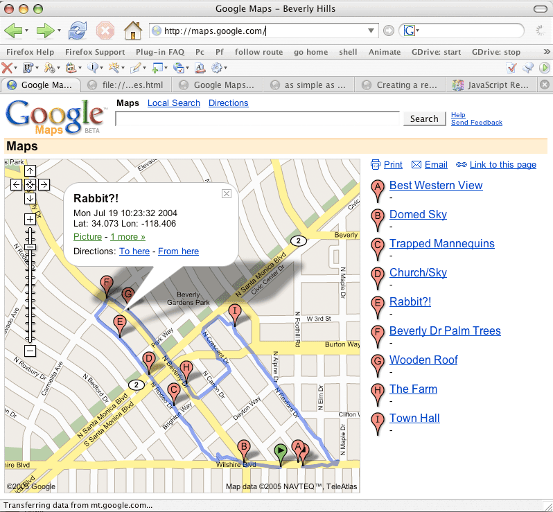
Added support for waypoints including links to my pictures. Unfortunately I can seem to get arbitrary HTML into the info panels. Might spend some time playing with using custom stylesheets at some point. Anyway, here's the screen capture:
Update, evening of 2/13/05...
OK, some code... here's the bookmarklet that load's the map:
load.
Then go to maps.google.com and click the bookmarklet. It will load whatever the last map I've uploaded to load.js
into Google Maps. It'll open up a small popup window and I haven't
figured out a way to make it go away yet.
Update at 1:16p 2/12/05...
Added support for waypoints including links to my pictures.
Unfortunately I can seem to get arbitrary HTML into the info panels.
Might spend some time playing with using custom stylesheets at some
point. Anyway, here's the screen capture:
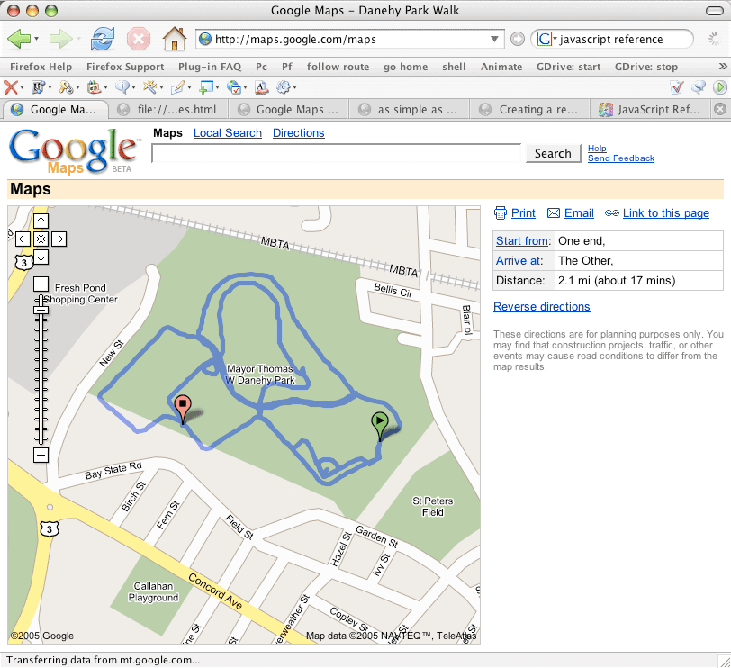
For a comparison, see my old version.
Still working on cleaning up the code. Basically I'm using this technique for creating a remote control bookmarklet. So I encode all the data into load.js and then when I click the "remote" bookmarklet the magic happens. Would like to figure out a way to make picking different trails a bit easier. But I've run out of time for now...
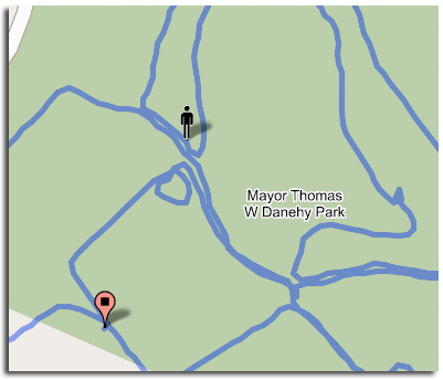
A detail capture showing my little online doppelganger walking the trail:
Here's the same data mapped with the GPS Visualizer: